Chinese engineers make sci-fi drone mapping reality
Share - WeChat


A scene from the science fiction film Prometheus, where explorers deploy a mini-drone that laser-scans caves to generate 3D models instantly, has turned into reality, thanks to the efforts of Chinese engineers.
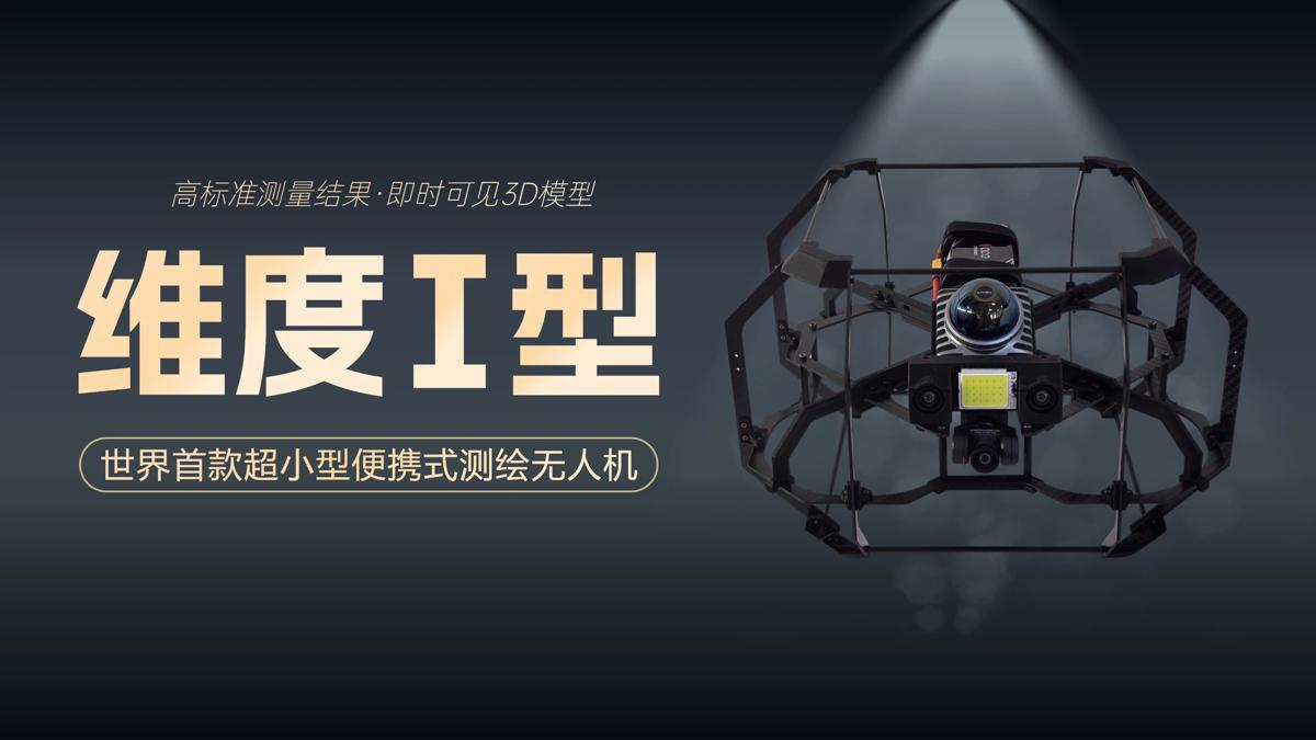
On Tuesday, the Spatiotemporal AI Perception Technology Innovation Center at the Tianfu Jiangxi Laboratory in Chengdu, Sichuan province, announced that it has launched Dimension 1, the world's first ultra-compact portable mapping drone. It is designed to perform asset digitization scanning tasks in indoor environments.
- Delivering social benefits
- Shenzhou XIX crew returns safely to 'beautiful, blue' Earth
- Ordinary work, extraordinary workers
- AI agent to improve international law services in Shanghai
- Intl Services Shanghai expands reach with launch of Italian-language website, multimedia platforms
- China opened more than 900 national wetland parks in over two decades


